InSite by
NatureServe
Gain Insight into Your Site’s Biodiversity Value from North America’s Undisputed Biodiversity Data Experts.
About the Tool
InSite by NatureServe delivers an instant biodiversity report for any location in the lower 48 United States to support confident planning and risk decisions.
Data-Driven Decisions Start Here
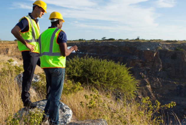
InSite is built for organizations making land-use decisions that carry biodiversity risk. It supports project developers, corporate sustainability teams, financial institutions, and conservation organizations that need credible, site-level biodiversity data to inform planning, risk management, and reporting.
How It Works
Generate a biodiversity report for any location in the lower 48 United States that provides standardized metrics to quantify biodiversity risk in alignment with TNFD. InSite reports also flag whether regulated species have been documented near the site, identify at-risk species and ecosystems known or predicted to occur in the area, and connect you to the NatureServe Network for seamless access to deeper data and on-the-ground experts.

Who It’s For
InSite supports teams making land-use decisions with biodiversity risk. Infrastructure teams—including pipeline, transportation, and renewables—use it to assess risk early in siting. ESG professionals rely on it to expand beyond carbon and quantify biodiversity exposure, while environmental managers and consultants use it to scope project design and field surveys. Conservation organizations apply InSite to communicate the biodiversity importance of the places where they work.
Years of
Excellence
Network
Programs
Species and
Ecosystems Tracked
Mapped Locations
Mapped Locations
Habitat Models
for Species
Get a free sample report today.
Fill out the form below to get a sample InSite by NatureServe report delivered to your inbox, plus find out about upcoming webinars and other product updates.
